
“3D Cave and Ice Block Morphology from Integrated Geophysical Methods: A Case Study at Scărişoara Ice Cave, Romania”
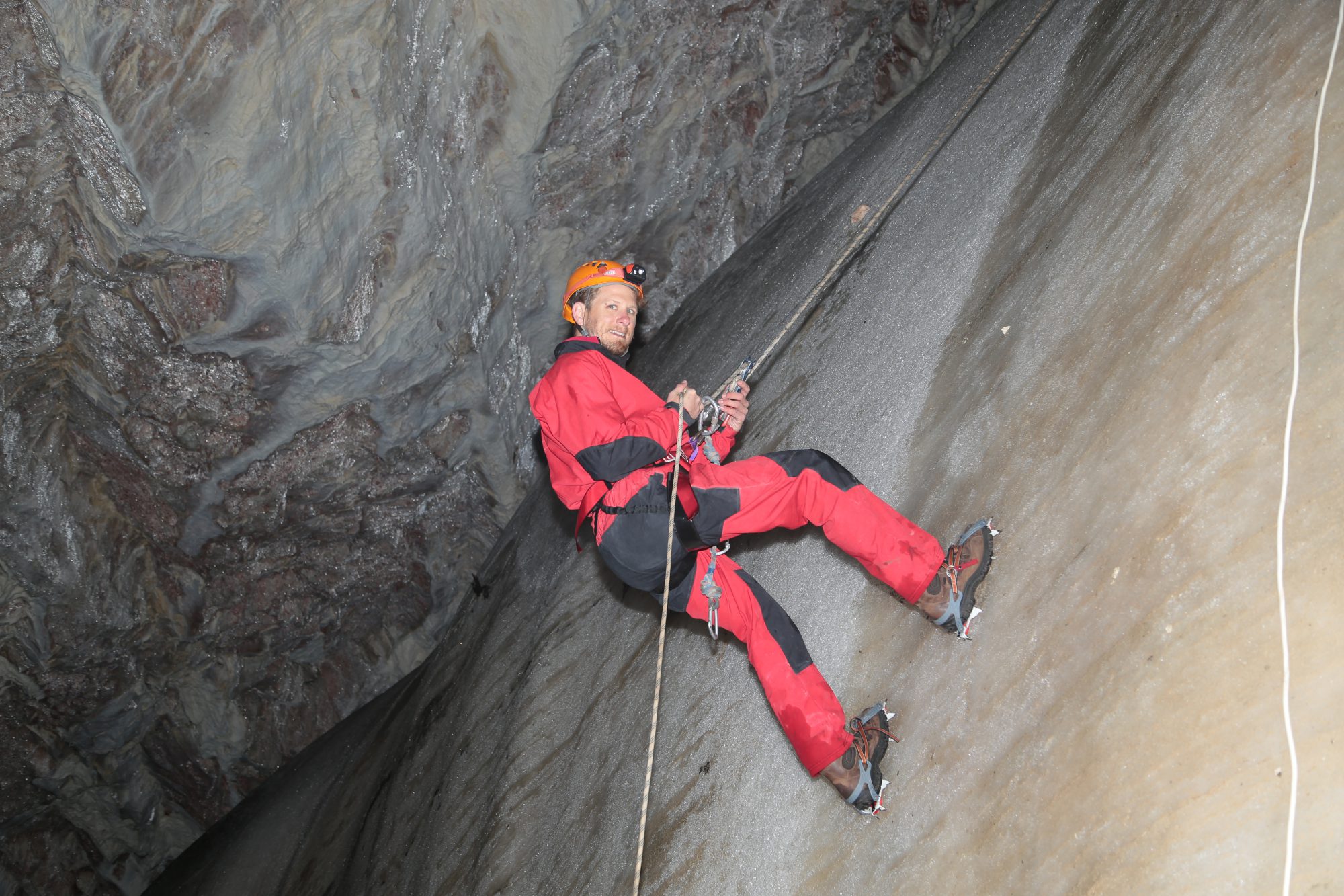
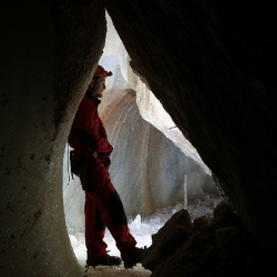
How does one create a 3D model of a cave and the football field sized ice block located within it? One method involves the combination of 1,500 photographs and structure from motion photogrammetry (SfM), ground penetrating radar (GPR) data to delineate ice depths, and a total station survey for model verification. With the resulting model we estimated the ice block volume, analyzed the geomorphology of the cave floor beneath it, and theorized the conditions that allowed for the initial ice formation.
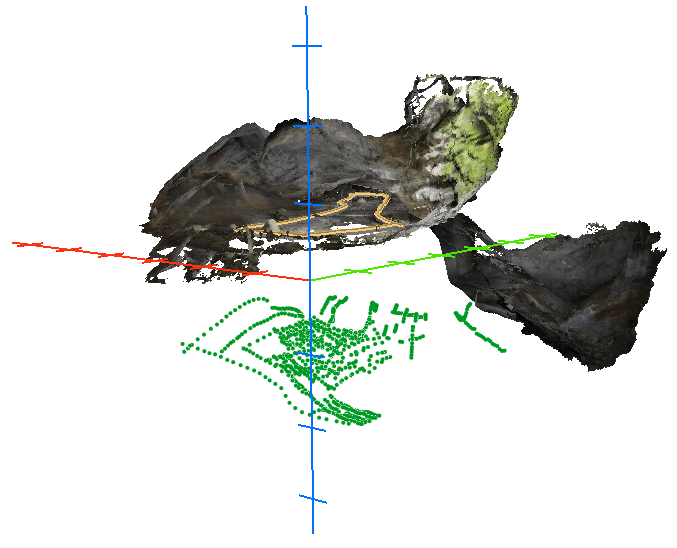
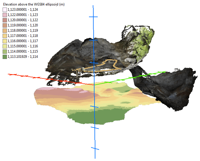
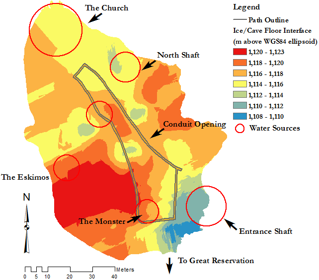
Above you can see the SfM cave model and the green dots that represent cave floor picks from the GPR data. All data is properly scaled and georeferenced.
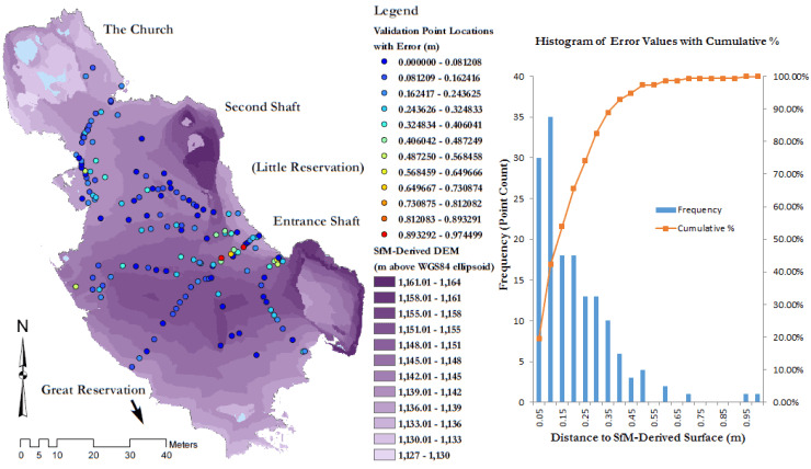
The SfM model was verified against a total station survey – with a RMSE of ~0.21 m.
Kriging was then used to create a prediction surface from the GPR picks.
Combined, the ice surface from the SfM and the ice/cave floor were used to create a model of the ice block.
And to locate, describe, and infer the causes of ice formation.
The SfM photogrammetry models uploaded to Sketchfab allow for an instant and easy way to share the 3D experience. Again, these models are georeferenced and scaled, so measurements are a snap in ArcGIS.
